Ends of the Earth
A long-term photographic survey of the planet's two cold ends — and of what scale does to attention.
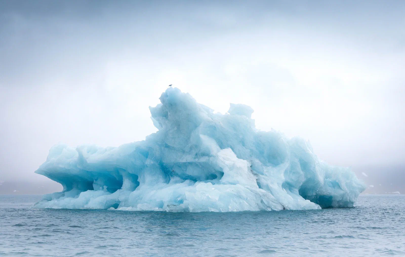
The project is simple to state and slow to make: photograph the high Arctic and the Antarctic with the same eye, over years, and let the two ends of the earth annotate each other. Svalbard is the northern anchor; the peninsula and the Weddell Sea the southern one; Lapland the connective tissue in between.
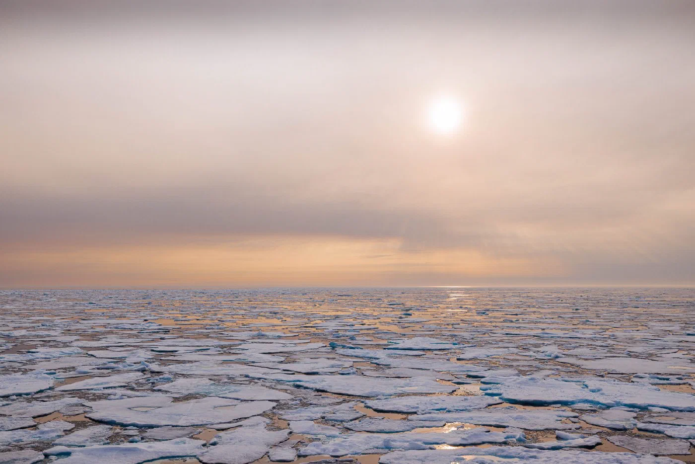
The rules are few. Wildlife from a respectful distance, always. No frame that needed the animal to change its plans. Landscapes at the hours when the light argues with the horizon, which at these latitudes can be most of the day. And a bias for the quiet frame over the dramatic one — the whole thesis of the work is that scale, not spectacle, is the story.
The poles aren’t subjects. They’re teachers with terrible office hours.
The albums under Photography are this project’s public face; the essays are its field notes. It will be finished around the time the ice is — which is to say, I photograph faster every year and hope to be wrong about the deadline.